
Close

Modules of Curator – we call them Ephors as they called members of the board of magistrates in ancient Sparta – could be parts of Curator or independent software solutions:
Enterprise, Port, Depot, City, Agro, Catalog, Incident.
Ephor | INCIDENT

Ephor | PORT

Ephor | DEPOT

Ephor | CITY

Ephor | INDEX

Ephor | AGRO



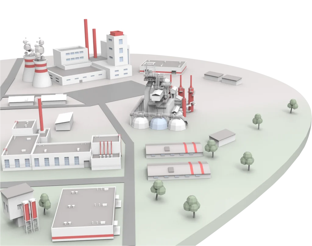
Full 3D-model of your enterprise, with real-time visualization of production process on its site.
Completion state of products, how many products get finished in a set period of time, etc.
Equipment’s state and it’s wear monitoring, a timely detection of possible future risks and failures.
Assigning tasks to enterprise’s workforce and monitoring of their completion stages.

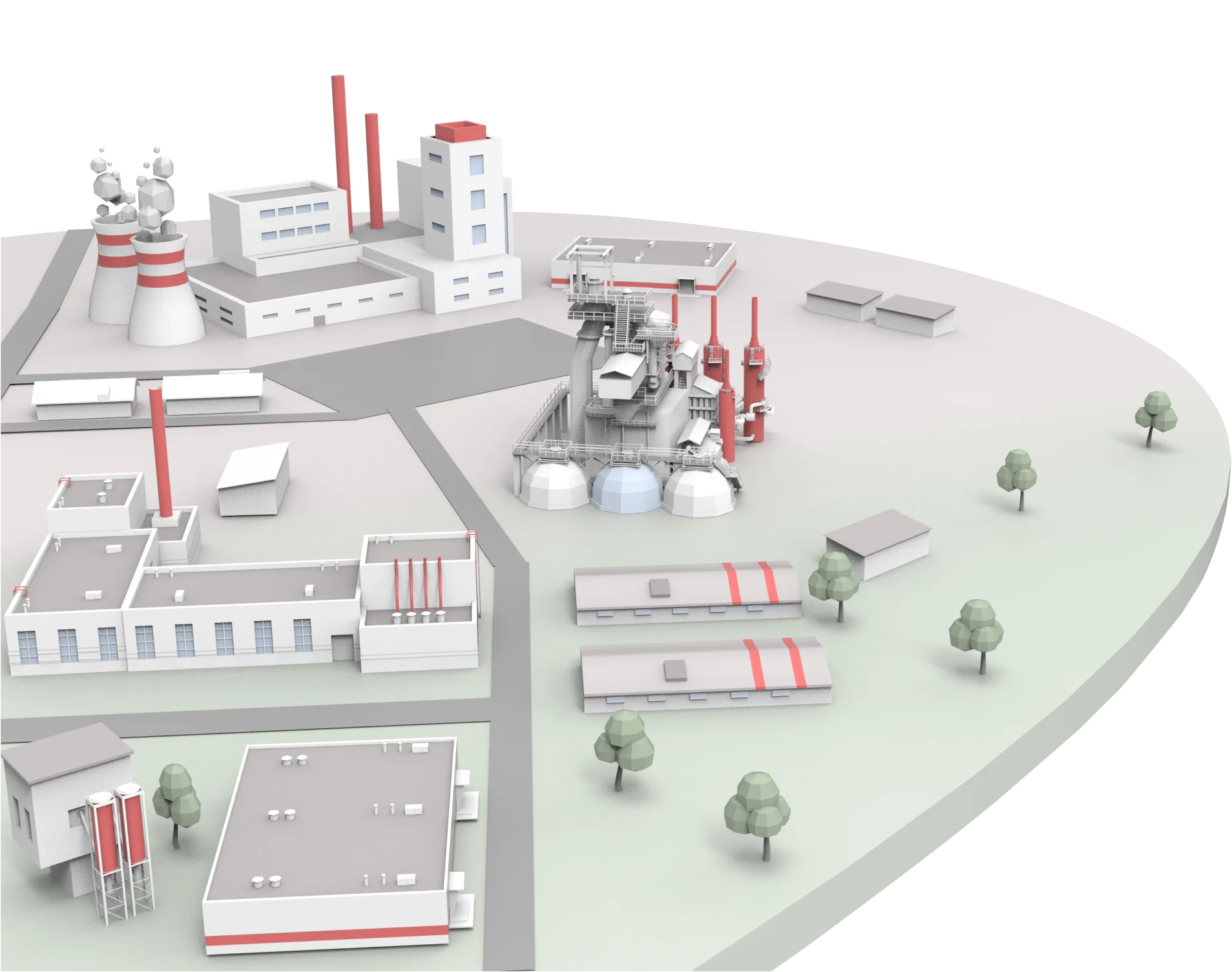
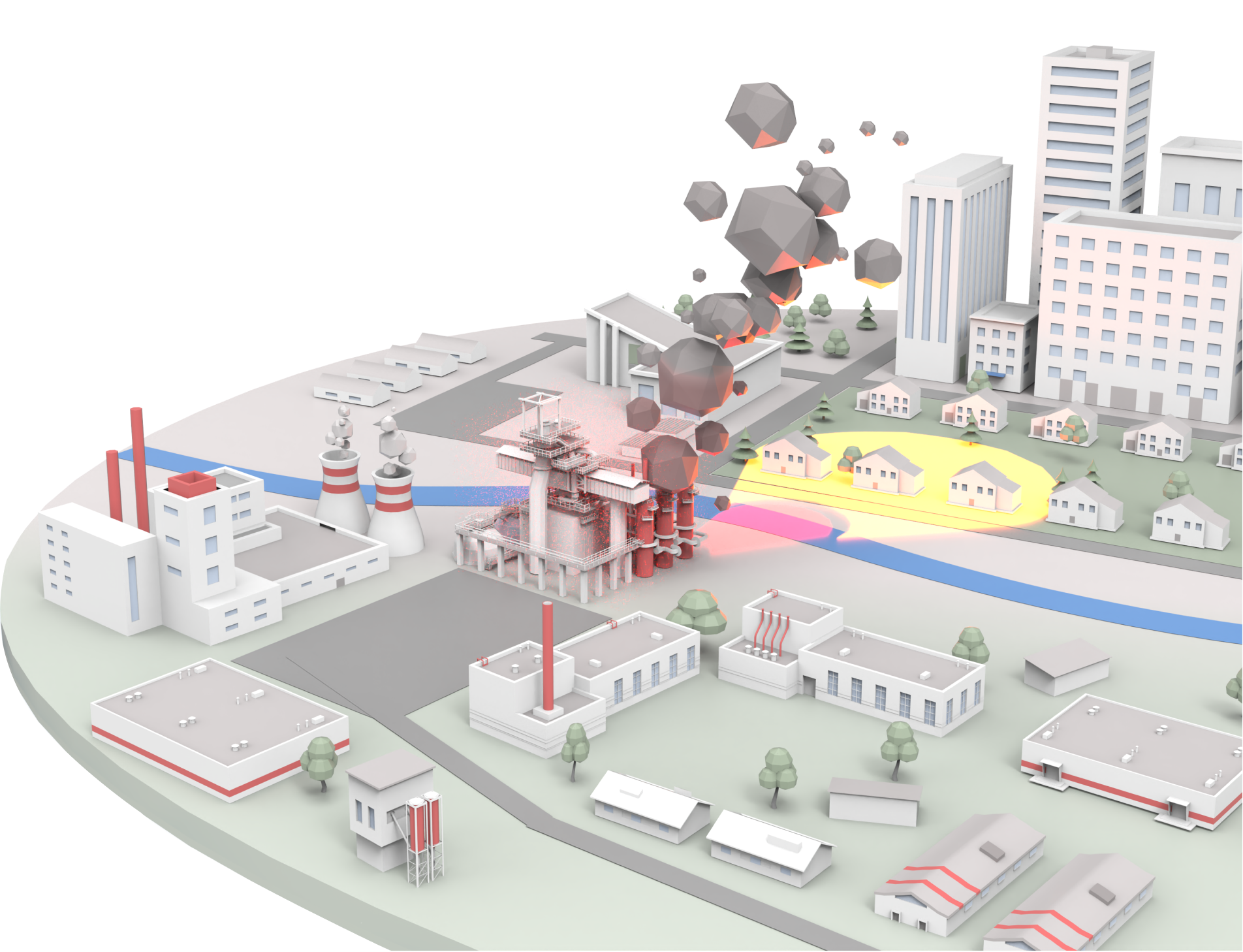
All parameters of possible emergencies (for example, physical properties of the hazardous substance stored in the tank) are set during programming. The system builds a mathematical model of a possible incident and shows it on the 3D model as realistically as possible.
The user can observe a possible scenario of an accident – for example, the spread of poisonous substances released by a tanker explosion – taking into account the actual landscape and weather conditions. To plan incident response actions in different weather conditions, adjustments are available for temperature and humidity, wind strength and direction.
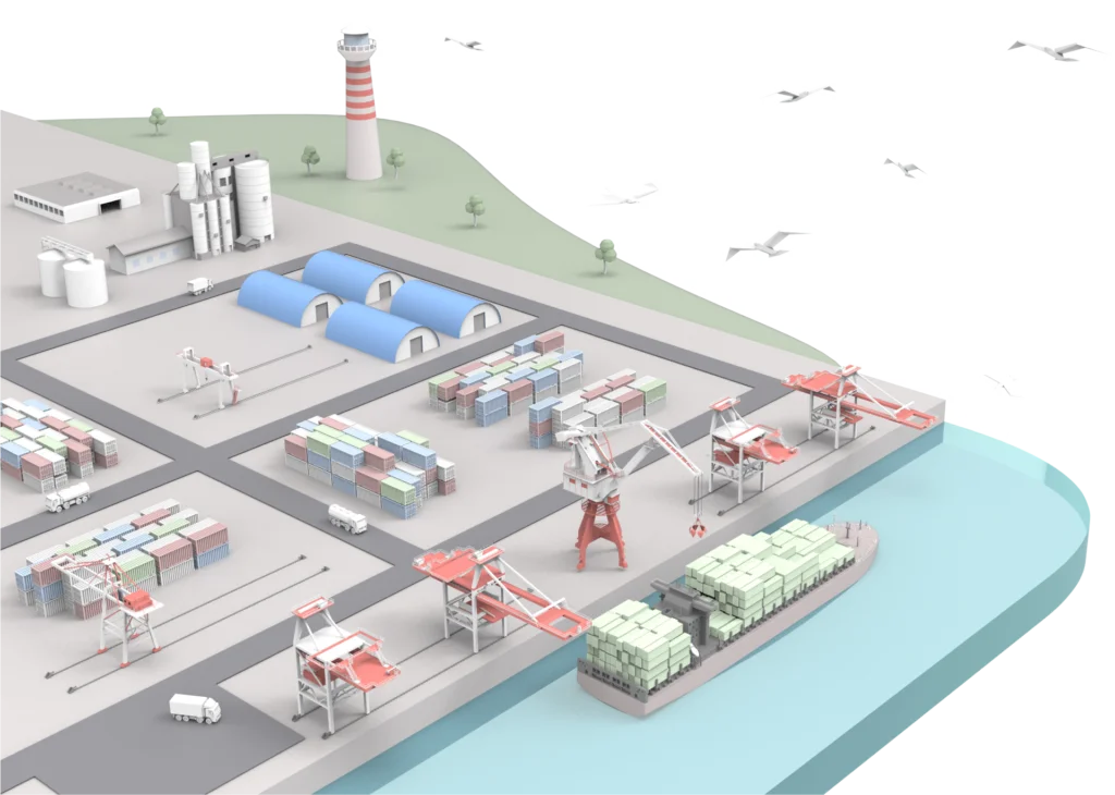
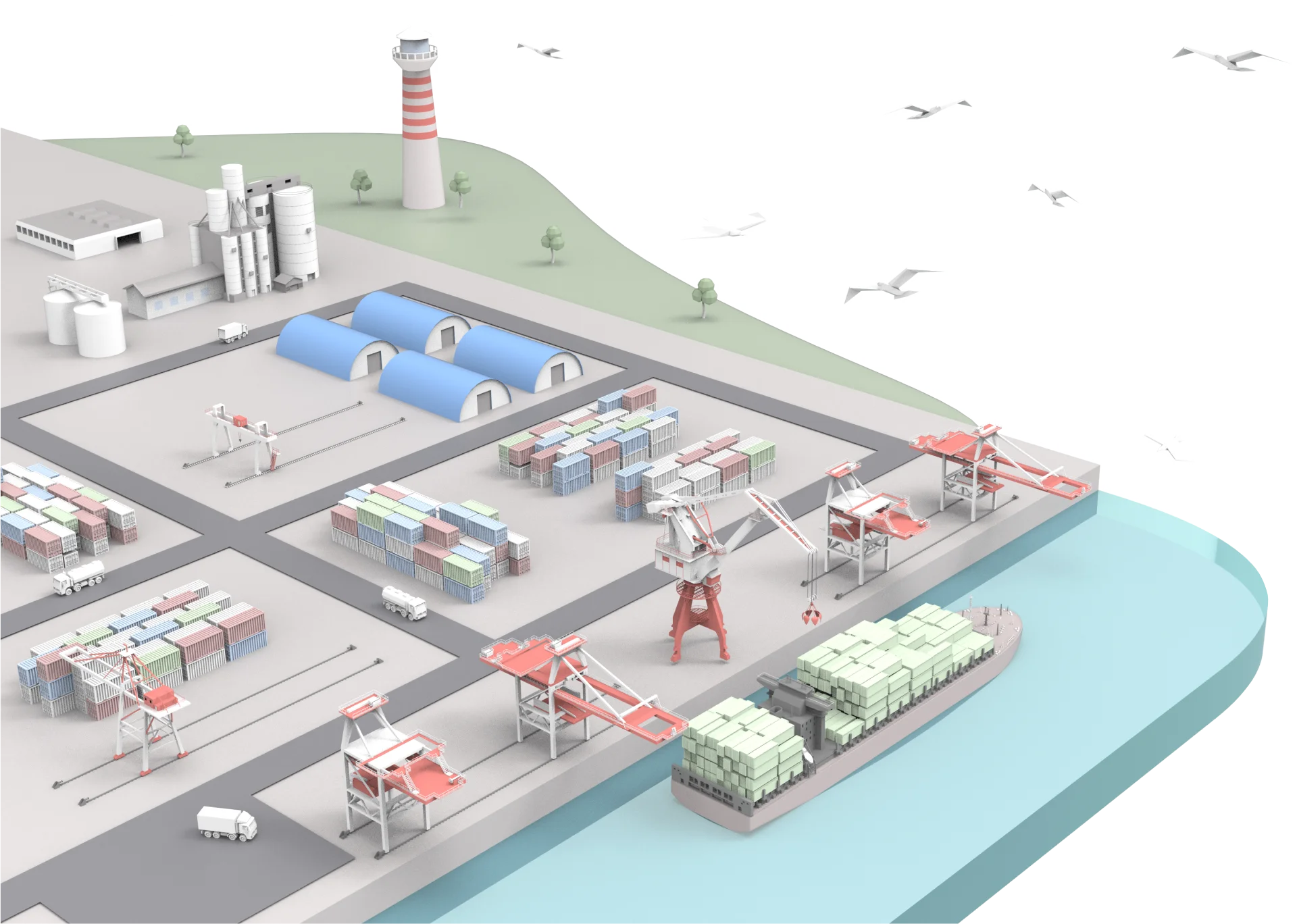
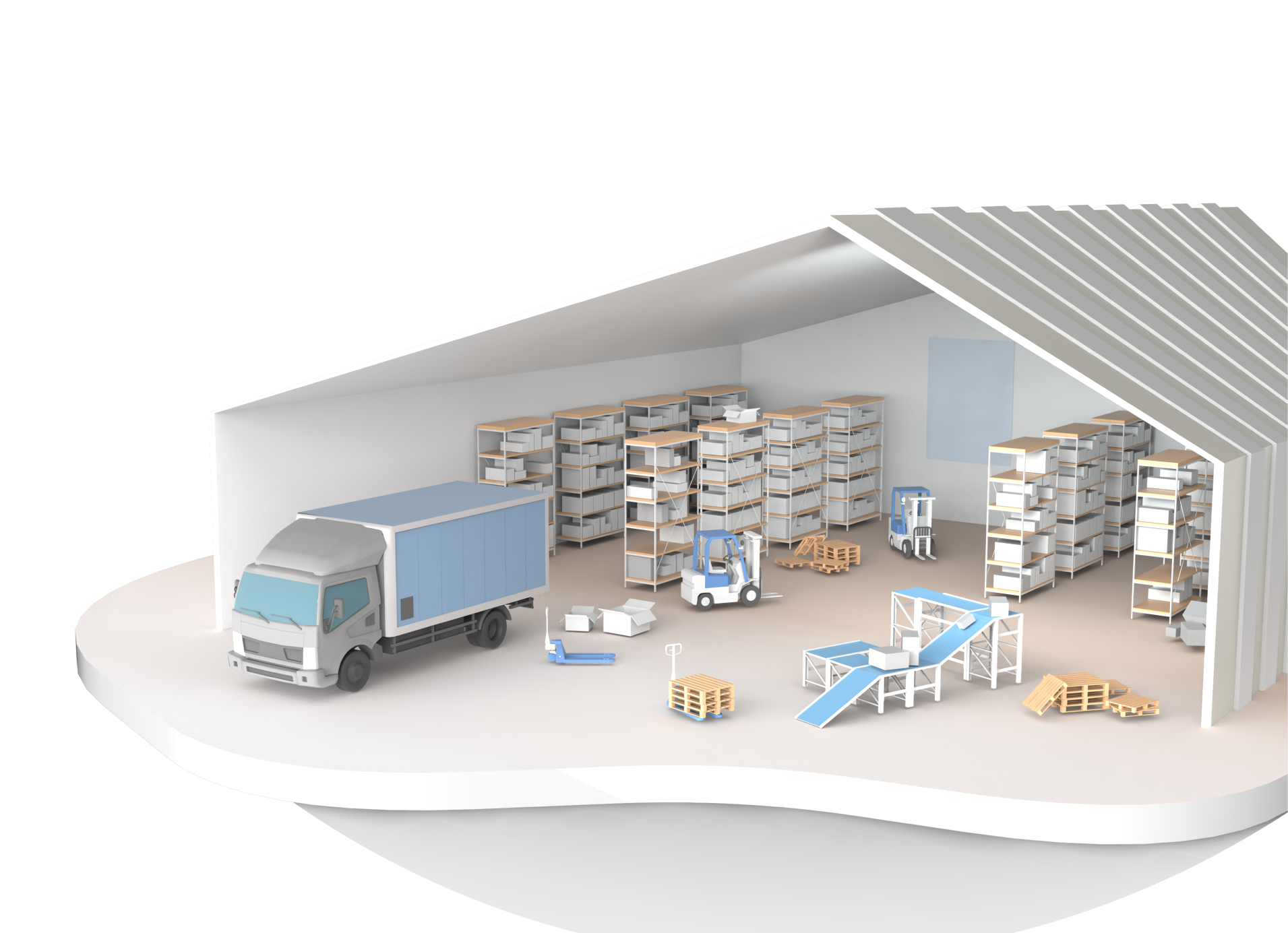
The port and its water area in the most convenient form for effective management. All the most important information is constantly available on one screen.
Real-time display of the location of ships and land vehicles in the port area, based on data from GPS vehicle trackers, ensuring speed and accuracy.
Display of container yard information, up to each container/group of containers. Clicking on any container gives you relevant information, including documentation on contents of containers, etc.
The connection of the model with the warehouse system makes it possible to automatically generate the necessary documents for the movement of cargo, even if you just move it with the mouse on the screen.

Model of an existing warehouse system. Development, planning of reconstructions of such facilities, adding new warehouse elements at the model.
Our system not only displays arrival of new shipments, but also allows easy placement of outgoing orders. All you have to do is simply drag, for example, a crate into the shipment area and the program will automatically create all the needed documentation to push that process forward on site.
Assigning tasks to warehouse’s workers, monitoring their completion.
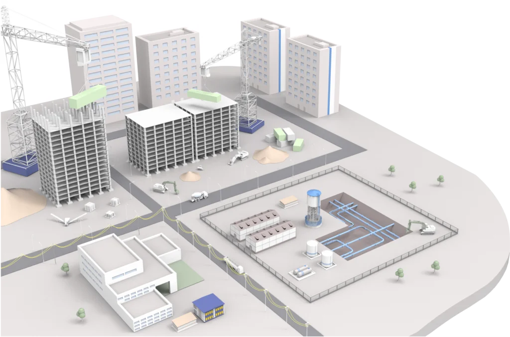
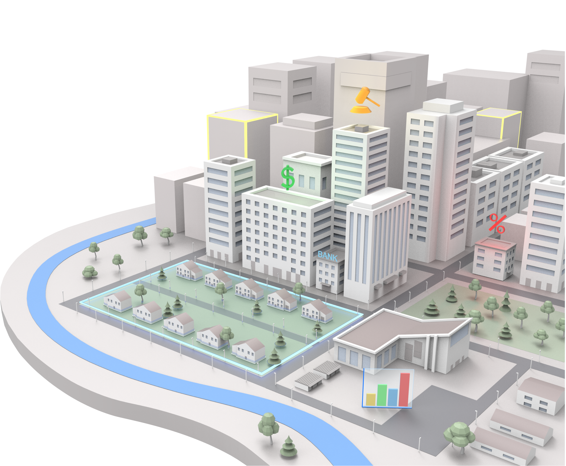
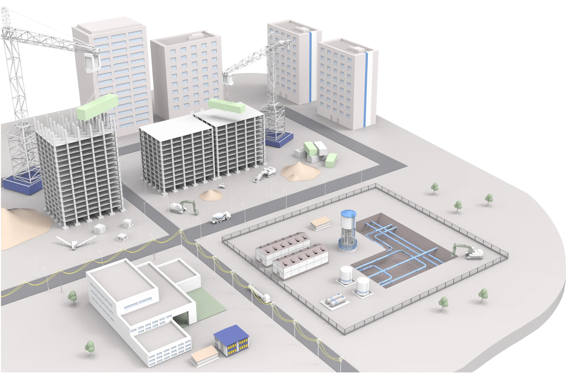
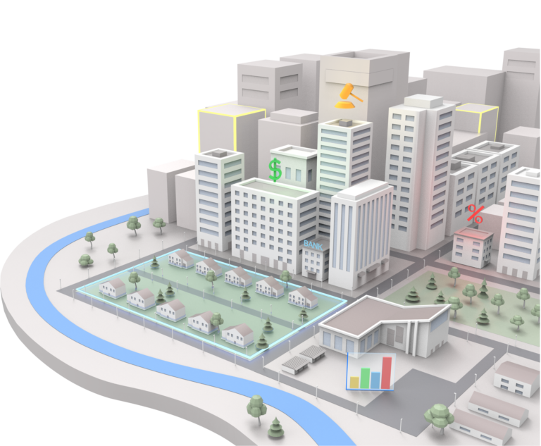
Complete overview of the city with the necessary analysis. Visualization of urban development with the required level of detail.
Integration with various metering systems and individual sensors throughout the city to display all data of interest in the form of analytics is possible. Many different data that can be presented in one model at the same time – this is a new level of competence of the city management.
Monitoring of many metrics important for the city management such as its environment, including air and water pollution, emergencies, etc.
You can plan, restructure, and edit the city. You can plan to change the road layout, place new or reconstruct buildings and connect to them all the necessary communications – first on the model with all possible analytics and only then implement in practice the best option.
Display of data relevant to each of system’s objects
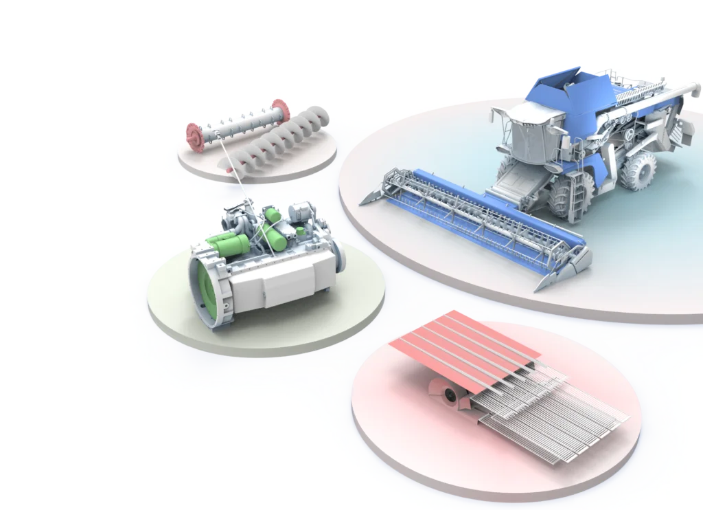
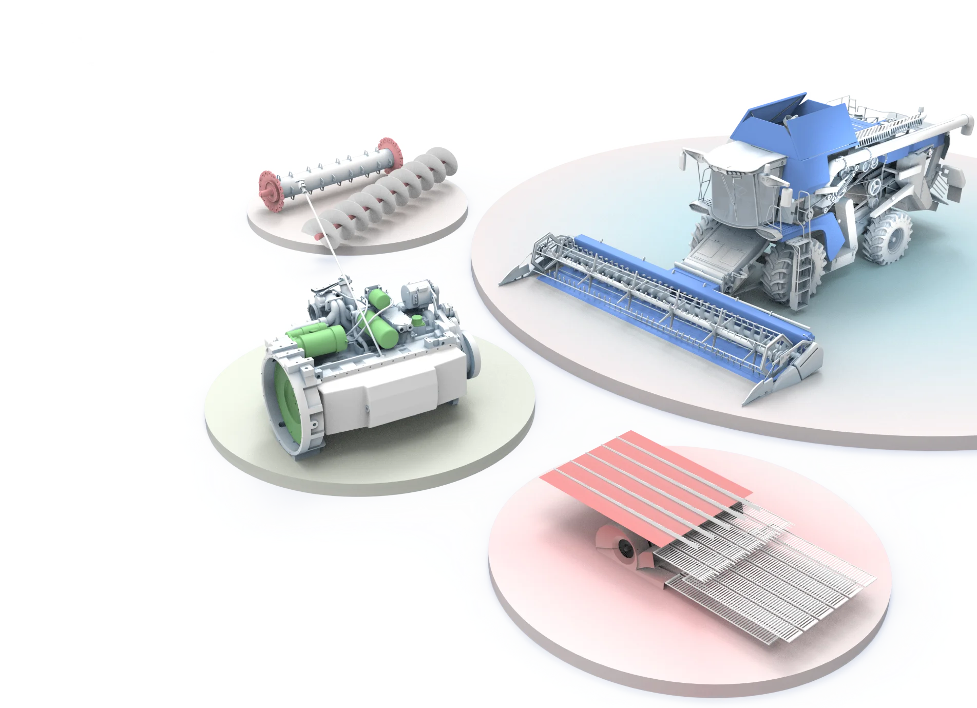
Creations of models of machines, mechanisms – from complex devices to separate units and parts with possibility for the user to study their arrangement in complex assemblies. 3D models can be viewed at any comfortable angle, zoomed in and out to help and make sure that you get the exact part you need.
Upon locating the parts you need ordering spare parts is fast and easy, all you need to do is enter the number needed and click order. The program will automatically place that order in the integrated accounting system.
Integration with accounting systems and existing electronic catalogs
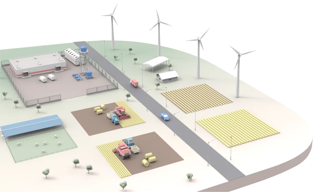
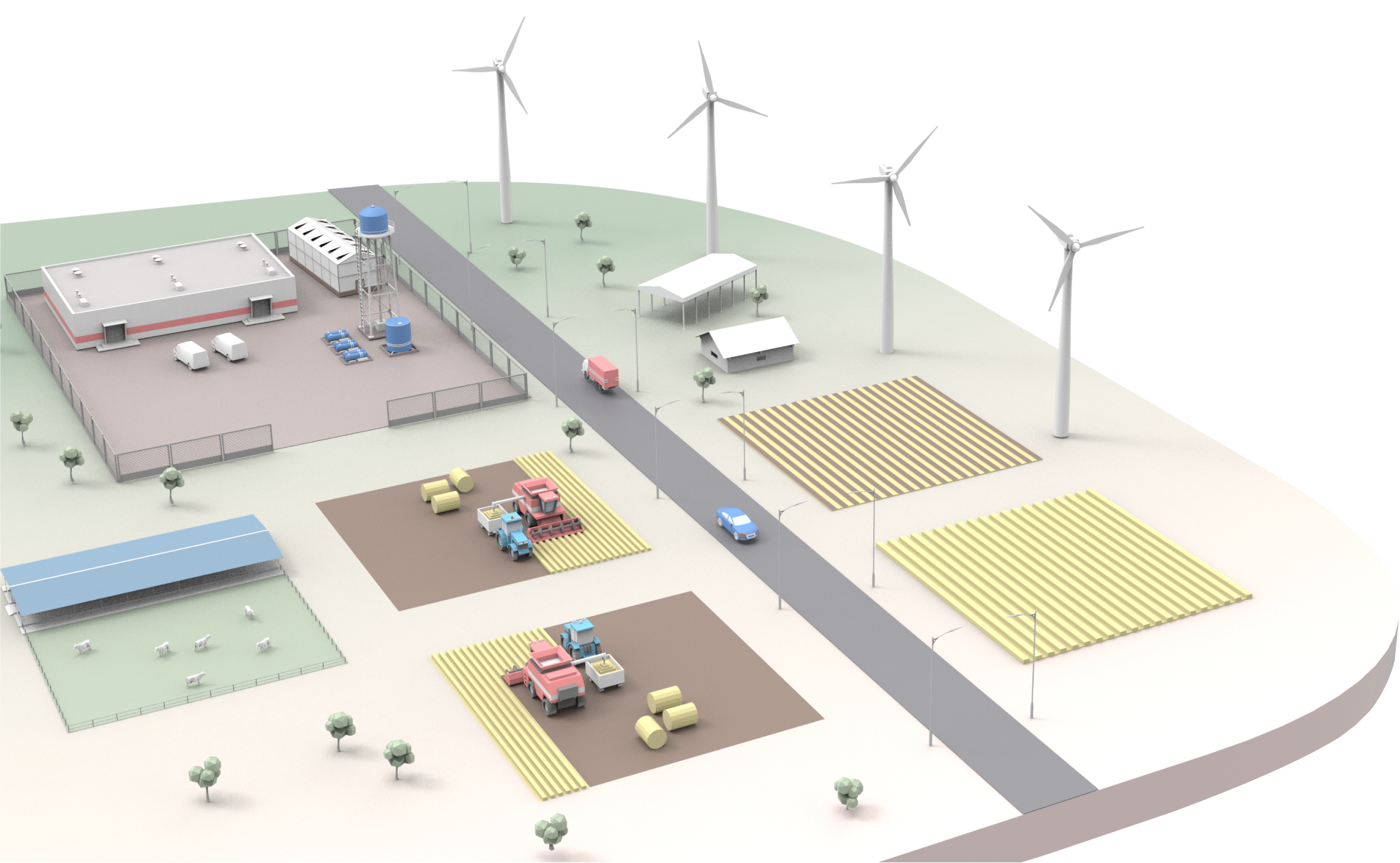
3D display of your fields with all the necessary data on demand including: field agroecological passport, monitoring of crop condition based on data received from drones, agronomist analysis etc.
Current/scheduled loading of storage areas and elevators; current/scheduled state of affairs in warehouses – analysis of warehouse and production needs for goods, finished products and materials; current/scheduled status of real estate(repair and construction works); summary data on each livestock/poultry production facility.
Demonstration on the model of the location of equipment in relation to the real coordinates with the help of GPS-trackers, monitoring their technical condition on the data of telemetry.
Our program monitors objects in operation, displays data on their condition and wear. Easiest way to see if repairs are required, notify if such condition might happen soon and forward it to the employers responsible for it.
